Mount Giles

| Mount Giles | |
|---|---|
 Mount Giles from the opposite side of Ormiston Pound in the south | |
| Highest point | |
| Elevation | 1,389 m (4,557 ft)AHD |
| Coordinates | 23°37′44″S 132°51′42″E / 23.628798°S 132.861614°E |
| Geography | |
| Location | Northern Territory, Australia |
| Parent range | MacDonnell Ranges |
| Climbing | |
| Easiest route | Larapinta Trail |
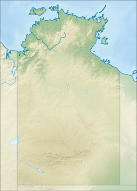
Mount Giles is one of the highest mountains in the Northern Territory, Australia, at 1,389 metres (4,557 ft) AHD. It lies along the MacDonnell Ranges, dominating Ormiston Pound, in the West MacDonnell National Park, approximately 80 kilometres (50 mi) west of Alice Springs. It can be visited via the celebrated Larapinta Trail and has views of Mount Sonder, Ormiston Gorge and Pound, and the surrounding range.

See also
References
External links

See what we do next...
OR
By submitting your email or phone number, you're giving mschf permission to send you email and/or recurring marketing texts. Data rates may apply. Text stop to cancel, help for help.
Success: You're subscribed now !

